
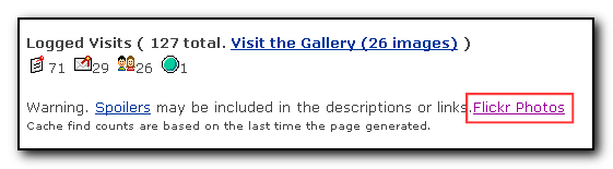
Some interesting photos and log information from Slammer47 online – Well worth looking through the photos to get inspired…. and worried.
Links
Extreme-caching website.
After having an aching back for about two weeks I was quite excited and depressed about stumbling across Extreme-caching.com as there is just no way I will be able to complete some of these caches as I’m getting too old. Some of drainhooks caches are just crazy. I am still thinking about getting that Three on the tree cache though….
My Flickr and Geocaching greasemonkey script updated.
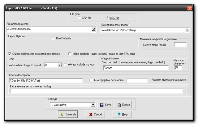
I have updated my Geocaching.com to Flickr greasemonkey script to work with the new geocache id’s. To install go to userscripts with a greasemonkey enabled browser to show links to Flickr from the Geocaching website as per the screenshot below.
For more technical information see my blog postings with the tag geocache2flickr
For those of you who don’t have greasemonkey installed yet, this allows you to download scripts that tweak the layout of normal websites to do various things such as add extra links, remove adverts etc. Greasemonkey can be downloaded from Mozilla addon site
Ohio Delorme Challenge
The Ohio Delorme geocache requires a visit to each cache in the Delorme atlas for Ohio but only visits after the cache was placed will count towards the cache find. Once a cache has been found on each page you then get the co-ordinates for the final cache hidden somewhere in Ohio.
With the aid of a KML file, the recent finds pocket query, GSAK and Google earth it is quite easy to work out which pages you need to do.
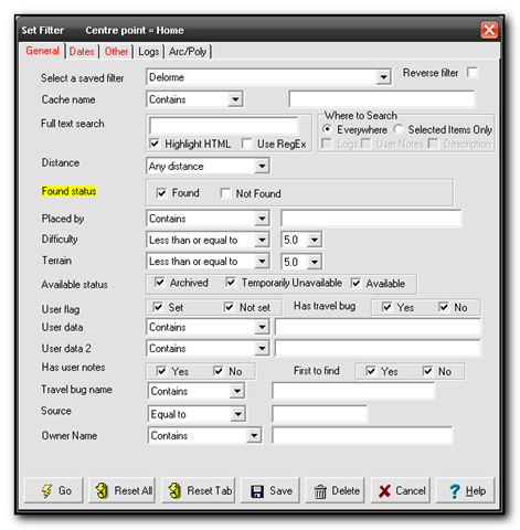
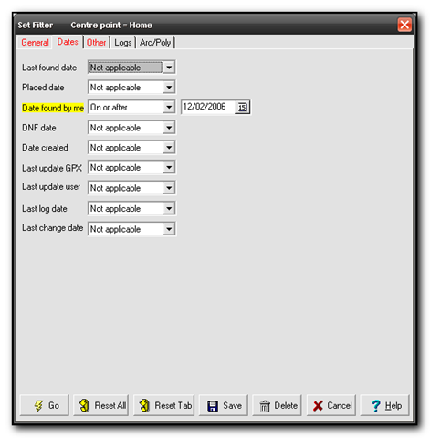
First download the Ohio Delorme KML file from the main cache page, GCZ554. Next download Google Earth (if you don’t already have it already. Finally you want a .loc file of all your finds since the 2nd of December 2006 when the cache was placed. The easiest way to do this is to download your latest finds into GSAK, then using the filters set State=Ohio, Found=Yes, Date=On or After 12/2/2006. I saved the filter as Delorme so I can run this whenever I need to check my status.
In Google earth open the KML file and then open the loc file to see the caches appear in gridlines for each page. You may want to turn off extra options and layers such as road names, community uploaded content etc. This will give you a cleaner picture. 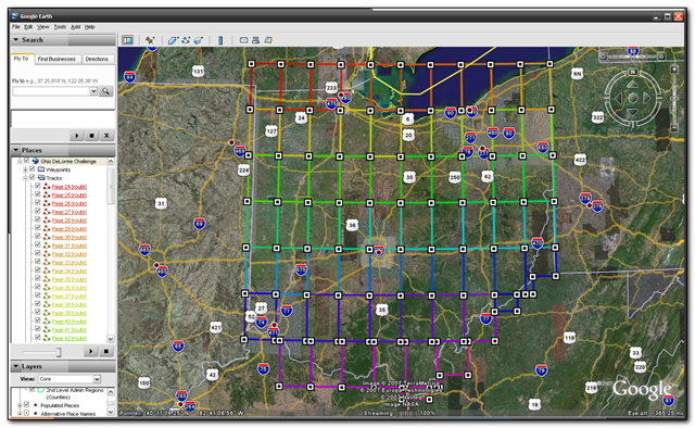
The picture above shows the gridlines and the picture below shows my found caches so far. I’ve actually found quite a few other pages but unfortunately they were before the cache was placed so they don’t count.
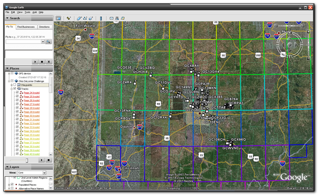
So far I’ve found pages 45-48,55-59,65 and 67-69
Meanwhile TeamJNLe4 completed all the pages yesterday and now just has to go for the final cache – congrats Jonathan!
Cachebag website
Cachebag’s website is now fully functional and it looks like a nice product. It will be interesting to see if any other photos of cachebag make it to flickr.
Geocalc
GeoCalc is an excellent tool for converting locations and also for measuring distances and projecting waypoints. It solved a particular puzzle cache for me in about 2 mins as opposed to about 2 hours using Microsoft Street and Trips
Keyhole and caching.
Wow – by using the google keyhole software and gsak it is possible to extract data from gsak and create a kml file to import and see a satellite overview of all the caches.
You just need to save the custom export field as
“C:\Program Files\GSAK\GPSBabel.exe” -i gpx -f “c:\program files\gsak\temp\babel.gpx” -o kml -F c:\temp\25.kml